Showing posts with label popular. Show all posts

Baluran, the African of Indonesia


Baluran National Park is representative of specific dry forest ecosystem in Java, consists of savanna vegetation types, mangrove forest, monsoon forest, beach forest, lower montane forests, swamp forest and evergreen forest throughout the year. About 40 percent of savanna vegetation types dominate the area of National Parks Baluran.

Plants in this national park as many as 444 species, including native plants are unique and interesting is widoro bukol (Ziziphus rotundifolia), neem (Azadirachta indica), and Pilang (Acacia leucophloea). Widoro bukol, neem, and Pilang is a plant that is able to adapt in a very dry conditions (still looked green), although other plants have withered and dry.
Other plants that like acid (Tamarindus indica), gadung (Dioscorea hispida), hazelnut (Aleurites moluccana), gebang (Corypha utan), api-api (Avicennia sp.), Kendal (Cordia obliqua), Burn (Syzygium polyanthum), and bulging (Sterculia foetida).

There are 26 species of mammals such as bison (Bos javanicus javanicus), wild buffalo (Bubalus bubalis), ajag (Cuon alpinus javanicus), deer (Muntiacus muntjak muntjak), deer (Cervus russa timorensis), leopards (Panthera pardus weld), deer (Tragulus pelandoc javanicus), and cat mangrove (Prionailurus viverrinus).
Animal bison is mascots / characteristic of Baluran National Park.
In addition, there are about 155 species of birds including rare such as flame kite (Hirundo Rustica), tuwuk / tuwur asia (Eudynamys scolopacea), peacock (Pavo muticus), red jungle fowl (Gallus Gallus), kangkareng (Anthracoceros convecus ), hornbills (Buceros rhinoceros), and stork barrels (Leptoptilos javanicus)
In Hm. 80 bars - Bekol, there is an old well that became legends surrounding communities. The legend tells that the city of Banyuwangi, Bali and Baluran equally digging wells. If, wells in each city's first water out and flying the flag, meaning the city will be the central hustle / culture.

Some locations / attractions to visit:
Bullion. Looking at historical relics / sites of Japanese cave, tomb of the son of Maulana Malik Ibrahim, attractions peacock dances in the breeding season between October / November and camping. Facilities: information center and campground.
Bekol and Semiang. Observation of wildlife such as pheasant, peacock, deer, antelope, bison, wild buffalo, birds.
Existing facilities: researchers guesthouse, guest house, a tower of view.
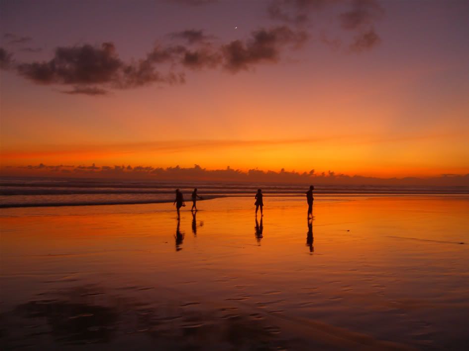
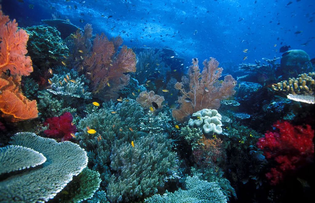
Bama, Balanan, room. Marine tourism, fishing, diving / snorkeling, and a fight between a stag in July / August; and a pack of gray monkeys crab fishing / small crab with its tail at low tide.
Burn, Water Kacip. Sources of water that never dry throughout the year, the leopard habitat.
Popongan, Sejile, Sirontoh, Kalitopo. Boating on a calm sea, see the various types of ornamental fish, migratory birds observation.
Rainfall cry. Activities of rock climbing as high as 10-30 meters, with a slope of up to 85%.
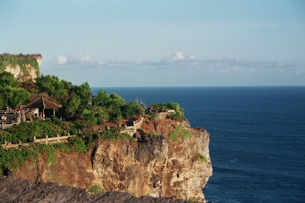
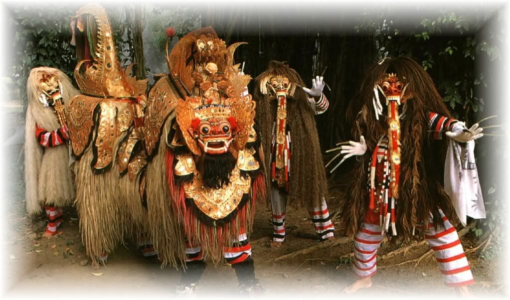
Bang Temple, Labuan Merak, Kramat. Cultural tourism.
The best visiting season: March, s / d in August each year.
How to reach the location: Banyuwangi-bars with a distance of 35 km, which continued to Bekol with a time of 45 minutes (12 miles) or Situbondo-bars with a distance of 60 km using
the car.

Tour of Mount Rinjani


Mount Rinjani National Park is representative of the mountainous rain forest ecosystem, low to high mountains and savannas in East Nusa Tenggara of Mount Rinjani National Park (TNGR) has gained World Legacy Award from Conservation International and the Traveller (2004) and the Tourism for Tomorrow Awards finalists (2005 and 2008) of the World Travel Tourism Council (WTTC) Also TNGR proposed to the United Nations Educational Scientific and Cultural Organization (UNESCO) as a Geopark world or the earth's first garden in Indonesia Two other locations are Mount Mount Batur in Bali and East Java in Pacitan Sewu.

At first area is the area of Mount Rinjani Wildlife Refuge Governors established the Dutch East Indies in 1941 by Decree No. 15 Staatblaat. 77 dated March 12, 1941 was announced by Minister of Forestry No. Statement. 448/Menhut-VI/1990, at the Peak National Nature Conservation Week-3 in Mataram as the National Park. New in 1997 are designated as National Park Mount Rinjani with SK Menhut No.280/Kpts-VI/1997 on 23 May 1997 ± 41 330 ha area located in three areas on the island of Lombok regency

Organizational management is determined by the Minister of Forestry SK no.185/Kpts/97 dated May 27, 1997 under the name Unit of Mount Rinjani National Park IV.A next echelon in 2002 changed to Mount Rinjani National Pa
rk (BTNGR).

Potential Areas of Mount Rinjani
Located on the island of Lombok TNGR geographically located between 116 ° 21'30 "- 116 ° 34'15" East Longitude and 8 ° 18'18 "- 8 ° 32'19" LS is a mountainous area with an altitude of started 500-3726 m asl (peak of Rinjani) with variations in slope of the land varies flat, undulating, hilly to mountainous. The mountains that exist around Mount Rinjani National Park area including: Mountain pelawangan (± 2658 m asl), Mount Power (± 2.914m asl), Mount Sangkareang (± 2588 m asl), Mount Fruit Mangge (± 2895 m asl) and mountain Condo (± 2947 m asl).
Some locations that became the main attraction is a visit:


1. The peak of Mount Rinjani

Climbing Mount Rinjani is one of the attractions is a mainstay in the area of ​​the summit of Mount Rinjani and TNGR Segara Anak Lake is the main purpose of most of the adventurers and nature lovers archipelago and even from abroad
who visit the region this time is the best climbing in July Ulan s / d in August

2. Lake Segara Anak
Segara Anak lake at an altitude of ± 2020 m above sea level can be reached from the two official channels Senaru ascent of the route and the route Sembalun.Disekitar Lake Segara Anak there is enough land and flat, can be used to pla
ce berkemping / camping also can lure visitors didanau fish or soak in hot water containing sulfur

3. Spring Waterfall Gile Senaru
Aside from being a gat
e climbing Senaru Village also holds the potential of other attractions that Niagara Gile (± 25 M) is a two-tiered waterfall with a temperature cool enough, you can feel the blows of the wind created by the waterfall which is quite high. As a traditional village also has a village Senaru (Traditional Village) that builds on traditional berasiktektur calendar "top-down" which in the most above arrangement is custom home melokaq (lap). The house of traditional indigenous Sasak tribe parrot, is a residential complex that still maintained its authenticity Senaru Village you can find lodging facilities and restaurants around the gate climb waterfalls.

4. Jeruk Manis Waterfall
sweet orange waterfall wit
h a height of ± 30 m are precisely in the village of yellow flowers located in the southern part of the national park area around the site to the waterfall (tete stone) there are many accommodation facilities for both local and foreign visitors such as home stays, cottages, etc. restorant this area in addition to having beautiful natural scenery we can also see the natural attractions of the behavior of monkeys and hawks who thought of this area is the habitat and population of the region's largest national park mountain Rinjani

5.
bathing place Otak Kokok Gading
crow otak is an area with beautiful scenery and mild, here there is a waterfall which is believed to surrounding communities can cure various diseases by bathing in the waterfalls where the crowing of the brain if the froth of water that has touched our bodies change color white indicates that the bodies we are exposed to the disease. Around the waterfall also built a swimming pool and gazebo / places of rest.


In the brain there is even this crowing arberetum area which is being developed by the national park mountain rinjni working with community groups concerned arboretum (KMPA) crow brain ivory. And for those of you who want to camp and enjoy the natural scenery, has been available area camping ground

6.
Hot Water Baths Sebau
Hot water sebau trusted by people around can treat various skin diseases (skin fungus, ringworm, scabies, etc.) to be supported by natural scenery surrounding the location of hot water, among others, in the form of hills and panoramic views along the scent trail the path to the location of the baths are often found several species of birds, deer, macaque monkeys are also gray. But unfortunately there who believe that public confidence by removing clothing that has been used to soak them at random then the disease will also terbuang.Sehingga about the location of the baths tend to look dirty clothes used by visitors, despite being bathing bins provided.

peak Jayawijaya and Carstenz

If you think that in the tropics will not find snow-capped mountains, you can rectify these assumptions after visiting Jayawijaya Peak, the highest peaks in the Sudirman Mountains (Sudirman Range) in the province of Papua. Peak Jayawijaya or shorter called Puncak Jaya, has a height reaching 4884 + meters above sea level (asl), allowing the area covered by eternal snow.

However, eternal snow is expected to shrink, even dry. In some studies concluded that the deposits of ice in these mountains from year to year that serius.Sehingga shrinkage, it is not possible someday it will lose the snow mountains as it did on Mount Kilimanjaro in Tanzania. Well, before the estimates were actually become real, it could not hurt you to try to conquer the highest peak in Indonesia.

In addition known as Puncak Jaya, the highest peak is also known as Carstensz Pyramide, or Carstensz Peak. name was taken from a traveler from the Netherlands, namely January Carstensz, who first saw the snowy peaks in the tropics, specifically in New Guinea. The observation was made by Jan Carstensz via a marine vessel in 1623. Because there can be proved by direct observation, the report was considered absurd. Because, for Europeans, find the snowy mountains in the tropics is something that is almost impossible.

Truth Carstensz report revealed after nearly three hundred years later, when in 1899 a Dutch expedition to map the island of Papua and find snow-capped mountain peaks, as reported by the Carstensz. In honor of Carstensz, then the top of the mountain was later named as the name implies. While the designation Jayawijaya Peak is a gift of President Sukarno after successfully embrace the sovereignty of West Papua from the Netherlands. This name meaning "peak victory", as an expression of gratitude for the unification of West Papua by the Unitary Republic of Indonesia

The first recorded climbers have conquered the Puncak Jaya is the expedition team led by Heinrich Harrer in 1962. Heinrich Harrer is an accomplished climber and seasoned authors. His famous book, Seven Years in Tibet, is the true story of wandering and friendship in the Himalayas, Tibet. Before Harrer, actually has a lot of other hikers who attempt the climb, but no one has ever succeeded. After Heinrich Harrer, following the expedition reached the summit of Indonesia. Expedition led by Col. Anwar Hamid Letnal of the Army Topographic Directorate is successfully reaching the Puncak Jaya in 1964.

Feature

Jayawijaya mountain is known as one of the wo
rld's seven highest peaks (seven summit). Therefore, peak climbing as high as 4884 meters above sea level are the ideals of a true climber, let alone climb to the Puncak Jaya is the conquest of the snow-covered mountain. The obstacles presented in the ascent, as the natural condition of the steep, extremely cold temperatures, high winds and rain, and the lack of oxygen at high altitudes is a challenge that must be conquered by the climbers.

Jayawijaya Peak is one of the snowy mountain peaks that exist at the crossing of the equator, in addition to the mountains in Africa and Latin America. When viewed from the air, Jayawijaya Peak looks like a black carpet that was covered by a white hood. If the sun was bright, the snow will reflect the blinding sunlight. The content of ice in these mountains is an estimated 5 percent of world reserves of ice outside the continent of Antarctica. However, due to global warming, the amount of shrinking year by year. When viewed from the type glaciers, snow-covered area in Jayawijaya enter into any type of Alpine glaciation. While the glacier (snow lumeran flow) in this region into the Glacier Valley types, namely the flow of glaciers that flow from the high ground towards the lower regions. Therefore, in this area is possible there are rivers of ice.

Not only enjoy the natural charm of snow in the tropics, in these mountains visitors can also witness evidence about the geological history of the formation of Jayawijaya Mountains. Geological studies find empirical evidence that the mountain was originally a deep seafloor. A geologist named Francis Benedict Widodo Margotomo mention that the formation of New Guinea with a peak in Jayawijaya occurred about 60 million years ago. The island is formed from sedimentary rocks are uplifted by the impact of Indo-Pacific plate and the Indo-Australian on the seabed, resulting in elevated sea floor was transformed into a large island. Evidence can be seen from the fossils of marine animals left in the rocks Jayawijaya Mountains. Therefore, in addition to being a paradise for hikers, this region is also a paradise for geological research.

If you are interested in exploring the Jayawijaya Mountains, of course the main thing that needs to be prepared are physical readiness, supplies, and logistics. Exercise regularly in an area with temperatures cold enough is one of habituation that is effective enough to avoid the threat of hypothermia (hypothermia), namely the loss of body heat because it is in a very cold temperature. In addition, aspects of licensing should also be prepared well in advance of the implementation of the climb. Because, other than because the terrain is tough, Papua region often hit by riots, wars between tribes, as well as other security threats. The difficulty of licensing to climb "the roof of Indonesia" is the phrase often raises satire: "more difficult than taking care of his permission to climb the mountain".

Sengigi Beach


Communities often align with the beauty of this beach famous beaches on the island of Bali, such as Kuta, Legian and Sanur. In fact, the beauty of the Senggigi Beach is often portrayed beyond the beaches, because the condition is much more comfortable and quiet. Perhaps this is related to the arrival of foreign tourists has not been rampant in this beach.

As a mainstay of coastal resorts of West Nusa Tenggara Province, Senggigi is still relatively natural and kept clean. The beach is still beautiful, the crash of the waves a
re not too large, and the beauty of the underwater scenery, further confirmed that the beach that stretches about 10 kilometers is an ideal place for domestic and foreign tourists for a moment forget the daily routine and atmosphere of hustle and bustle of the city.

Senggigi Beach is now starting ogled by tourists, especially foreign tourists, because of the relatively virgin area and also has extensive information about his whereabouts. With increasing interest and enthusiasm of tourists to the Senggigi Beach, the local government and enterprises sewasta increasingly keen to build and fix all the infrastructure, so that more tourists interested to visit this beach.

Feature
Visiting Senggigi on Lombok Island
tourism agenda may need to be made ​​for tourists who love the beauty and freshness of nature. Just imagine, when entering the beach area, tourists will soon swept away by the soft breeze that blows in clusters along the beach in West Lombok, West Nusa Tenggara Province. A fresh, comfortable, and beautiful as if greeting tourists at the initial visit. Time has been at the beach, the eyes of the tourists will be served by the exotic charm set in coast waves chasing each other, which extend the white sand, and thousands of small animals that spreads on a bed of sand, as well as the landscapes of Mount Agung in the opposite island (the island).

Senggigi beach does offer a unique charm. Natural atmosphere that has not been overwhelmed by foreign tourists, as a marker of difference this coast with the beaches in Bali. It certainly gives the feel of its own for the visitors. Not surprisingly, this beach is now a new alternative destination to the tourists who missed the reassuring atmosphere of natural silence.


There are many tourist activities visitors can do on this beach, like swimming, playing water, diving, snorkeling, sunbathing, and playing around making sandcastles. When the afternoon sun had started to fade, tourists can also spend some relaxing time to just walk with bare feet explore the beach, sitting on the sand with mangamati blue-green sea water, or relax at the beachside hotel outlets while waiting for the sunset arrives. For visitors who want to swim or just playing in the water, it is suggested to be more careful, because there are many seaside cliffs are quite dangerous pointy feet.

For tourists visiting the Senggigi Beach, sempatkanlah obse
rved Pura Batu Bolong. As I walked along the edge of Senggigi Beach, less than about half an hour, travelers will find a temple built on a reef which is located on the beach. This temple is by the people around were named Pura Batu Bolong. According to local legend, this temple of yore are often held at the sacrifice of a virgin, as a dish of food for a live shark on the beach. Another legend says, the temple is also the place the women throw himself into the sea because of a broken heart.

Another interesting thing to do is along Senggigi at night, especially during full moon arrives. Visitors will find many people / local residents who take advantage of the warm sand of Senggigi for medical therapy. They buried the part or the whole body to the neck for 2-3 hours, while listening to the crashing waves that broke the silence. This therapy is believed to surrounding communities can cure many diseases, such as rheumatic pain pegel to paralysis. If interested in this activity, tourists can join and try it.

For matters of the stomach, tour
ists can try delicious cuisine types / Lombok typical dishes in restaurants are lined up neatly on the beach. The price varies from Rp 30,000 to Rp 300,000 per person (December 2008). Of course, dining in seaside fun burst of moonlight illuminated and entertained by orchestras surf beaches are unfortunately if pass up. No less interesting, tourists do not forget to taste the typical dishes of Lombok which Taliwang Chicken and Watercress Plecing. Almost every restaurant in Senggigi Beach, Lombok or in general, provide this cuisine. While eating chicken or Plecing Taliwang Kangkung, travelers will be entertained with typical Lombok art form of music and dance. Even if you do not mind, visitors also can come to dance together in shades of joy and family.

In addition, for souvenirs, tourists also do not forget to buy pearls and woven fabric with various motifs and colors. Pearl jewelry that has been assembled into a beautiful and charming eyes are mostly found in the stalls on the beach. However, if you wish to compose your own pearls of this, tourists can buy plain pearl beads. Plain pearl is usually sold in the form of a necklace that consists of many pearls. Pearls can be arranged itself according to the desired form of jewelry.

After enjoying the natural beauty of the Senggigi Beach, tourists can go on tour to the tourist attractions are not far from the beach location, among others, the three Gili (small island): namely Gili Trawangan, Gili Meno, and Gili Air, Beach Kerandangan, and Stone Coast Screen. The screen is a stone shrine for the followers of Islam Wetu Telu Island Lombok (Sasak tribe).

location
Senggigi Beach is situated on the northwest city of Mataram, West Lombok regency, West Nusa Tenggara province (NTB), Indonesia.

access
To the area of Senggigi Beach is quite easy, because there have been ports and airports on the island of Lombok. If the left from the island of Bali, travelers can depart from the Port of Karang Asem using a ferry to Senggigi, with travel time about 30 minutes away. This distance can be cut when using a plane flying from Denpasar Ngurah Rai Airport in Mataram Selaparang (Capital NTB), which only takes about 15 minutes.

Apart from the Port of Karang Asem, tourists can also depart from Padang Bay Harbour in Bali using a ferry to Sheet Harbour on the island of Lombok. On the way, travelers will be pampered with a beautiful natural scenery and also the appearance of dolphins followed the ship that chased each other. Padang Bay-Sheet trip by ferry takes about 4 hours. After arriving in Sheet Harbour, tourists can continue the journey to the city of Mataram. From the city of Mataram, Senggigi Beach is 11 kilometers and can be reached by taxi and other public vehicles.

Besides the sea route, tourists can also toward Senggigi Beach by using the flight path of air from major cities in Indonesia, such as Jakarta, Surabaya, Bali and Yogyakarta. By using planes flying from one city, travelers will get to Selaparang Airport, Mataram. From this airport can direct tourists to the area of Senggigi Beach

Accommodation and Other Facilities
Around Senggigi Beach there are many lodging options that can be made to suit your needs. Starting from five-star hotels, resorts, hotels jasmine up. Some places to stay that can be used as an alternative is the Holiday Inn, the Oberoi, Sheraton Senggigi, Melati Dua Cottage, Pool Villa Club, Panorama Cottage, and others. Moreover, in coastal areas is also often found restaurants, cafes, bars, open markets, a row of souvenir stalls and souvenirs, mosque, public toilets, parking lots, and others. Indonesia Senggigi beach is a beach that is suitable as beach resorts.

Prawirotaman, Batik Villages and Lodging The Global


Prawirotaman, an area located about five kilometers from the city center can be an alternative when looking for lodgings confused. The area was not only provides a unique and affordable accommodation, but also a series of artshop, cafes, book shops, traditional markets, and a slate that could certainly be an alternative tour as well.

Prawirotaman as a village known since the 19th century, when a royal palace named Prawirotomo receive prize piece of land from the palace. From the beginning, this village does not have a minor role for Yogyakarta. Pre-inde
pendence period, this village became a concentration paramilitary fighters. Post-independence, ie in the 60's, this village is known as a center of printed batik industry which is managed by the descendants Prawirotomo. While since the '70s, along meredupnya batik industry, the descendants Prawirotomo swerved into lodging services and Prawirotaman was becoming known as a tourist village.

Entering Prawirotaman area, you are greeted by the village feel of the city, ranging from passing vehicles to greeting the people who usually speak English. Lodging with a unique series of architectures, from Javanese classical to contemporary hotel located in the region. The facilities provided are quite tempting lodging at affordable prices, from Rp 50,000 - Rp 300,000. Although there has changed hands, most lodgings are still managed by descendants Prawirotomo, consists of three major families of Werdoyoprawiro, Suroprawiro, and Mangunprawiro.

Prawirotaman region I or commonly called Prawirotaman course is the most famous. In addition to lodging, in this region there are also other tourist facilities such as travel tour agents, cafes and kiosks, cafes and restaurants, to the bookshop. In cafes and restaurants are available, you can enjoy many Javanese cuisine, Europe, and the combination of the two. Bookshop is available to provide good books with a cheaper price. Imported books that cost could be hundreds of thousands can be obtained by simply removing Rp 35,000 - Rp 60,000 only. Sometimes, there are also foreign tourists who want to exchange his book collection.

Some artshop also lined peddle trinkets unique art. There is a table made of bamboo, batik cloth, made from wood cabinets glondongan to antiques like decorative lighting and old-old dagger. One of the antiquities that are in demand among foreign tourists is stamped batik. Typically, the stamp was used to decorate the table leaf, the wind-wind ventilation wooden house or just as a collection because it is considered to have artistic value in the form of detailed motifs that are very interesting and historical value is quite high. A German citizen had bought 1000 pieces stamped batik batik from a company that is now defunct.

To the south of the region Prawirotaman I Prawirotaman II is directly adjacent to a traditional market place. Take a walk in the traditional market in the morning is an interesting alternative to travel. In addition to watching the hustle and bustle of people who were shopping, you can also taste typical Yogyakarta snacks are sold. When headed to the south again, you will meet with Prawirotaman region III that is not less crowded. In Prawirotaman III, you'll find more houses.

Although the actual names of the two most southern part Prawirotaman is Prawirotaman Prawirotaman II and III, but the area is more known as Guerrilla Street. According to the story, the region is the headquarters of the Ghost Warrior Death (Indonesia's struggle for independence era army) led by Mr. Heartfelt. In one corner of the street, you can find a slate that was made to commemorate the struggle of these forces. In addition to the Ghost Death Force, paramilitary soldiers who are based in this area Prawirotomo Pvt.

 
Design by Free Wordpress Themes | Bloggerized by Free Blogger Templates | Walgreens Printable Coupons